
Bay Area Steps Up Wildfire Defence: AI and NASA's Ember Map Offer New Hope
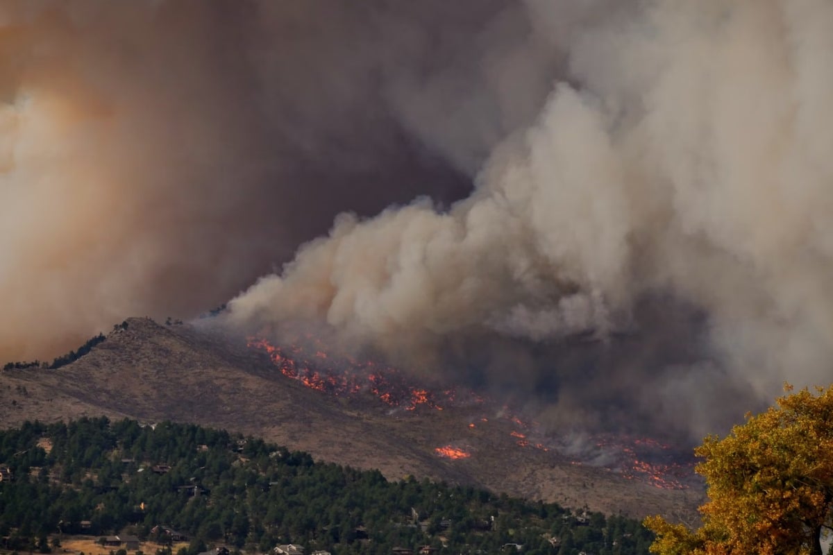
The Bay Area is bolstering its wildfire defences with a cutting-edge combination of artificial intelligence (AI) and a revolutionary ember-risk map developed by NASA. As California continues to grapple with increasingly severe and frequent wildfires, this proactive approach aims to provide earlier detection and more effective prevention strategies, offering a much-needed layer of protection for communities.
AI-Powered Early Warning System
The implementation of AI sensors across the Bay Area marks a significant shift in wildfire monitoring. These sensors, strategically placed in high-risk zones, are designed to detect subtle changes in environmental conditions – fluctuations in temperature, humidity, and wind patterns – that could indicate the potential for a wildfire to ignite. Unlike traditional methods that rely on visual sightings, these AI sensors operate 24/7, providing continuous surveillance and identifying potential threats long before they escalate.
The AI algorithms are trained to recognize patterns indicative of wildfire risk, filtering out false alarms and focusing on the most critical situations. This allows emergency responders to react swiftly and deploy resources effectively, minimizing the potential for damage and protecting lives.
NASA's Ember-Risk Map: Pinpointing Vulnerability
Complementing the AI sensor network is NASA's groundbreaking ember-risk map. This map doesn't just identify areas prone to large-scale blazes; it focuses on the often-overlooked danger of embers – the small, glowing fragments of burning material that can travel significant distances, igniting new fires far from the original blaze. NASA scientists have leveraged data from satellite imagery, weather models, and ground-based observations to create a detailed map highlighting areas most susceptible to ember-caused ignitions.
The map considers factors such as vegetation type, wind speed and direction, and terrain to predict ember pathways and identify vulnerable communities. This granular level of detail allows fire agencies to target preventative measures, such as vegetation management and community outreach, to areas where they will have the greatest impact.
A Collaborative Approach to Wildfire Mitigation
The collaboration between local authorities, NASA, and AI technology providers represents a forward-thinking strategy for wildfire mitigation. By combining advanced technology with scientific expertise, the Bay Area is taking a proactive stance in the face of this growing threat.
“This is about being smarter, not just faster,” stated a spokesperson for the Bay Area Fire Council. “We're using data to anticipate where wildfires are most likely to start and spread, allowing us to take preventative action and protect our communities.”
Looking Ahead
The initial deployment of AI sensors and the NASA ember-risk map is just the first step. Future plans include expanding the sensor network, refining the AI algorithms, and integrating the data from multiple sources to create a comprehensive wildfire risk assessment platform. The Bay Area’s experience serves as a model for other regions facing similar challenges, demonstrating the power of technology and collaboration in the fight against wildfires.