Protecting Kiwis from Floods: How Tech is Revolutionising Levee Inspections
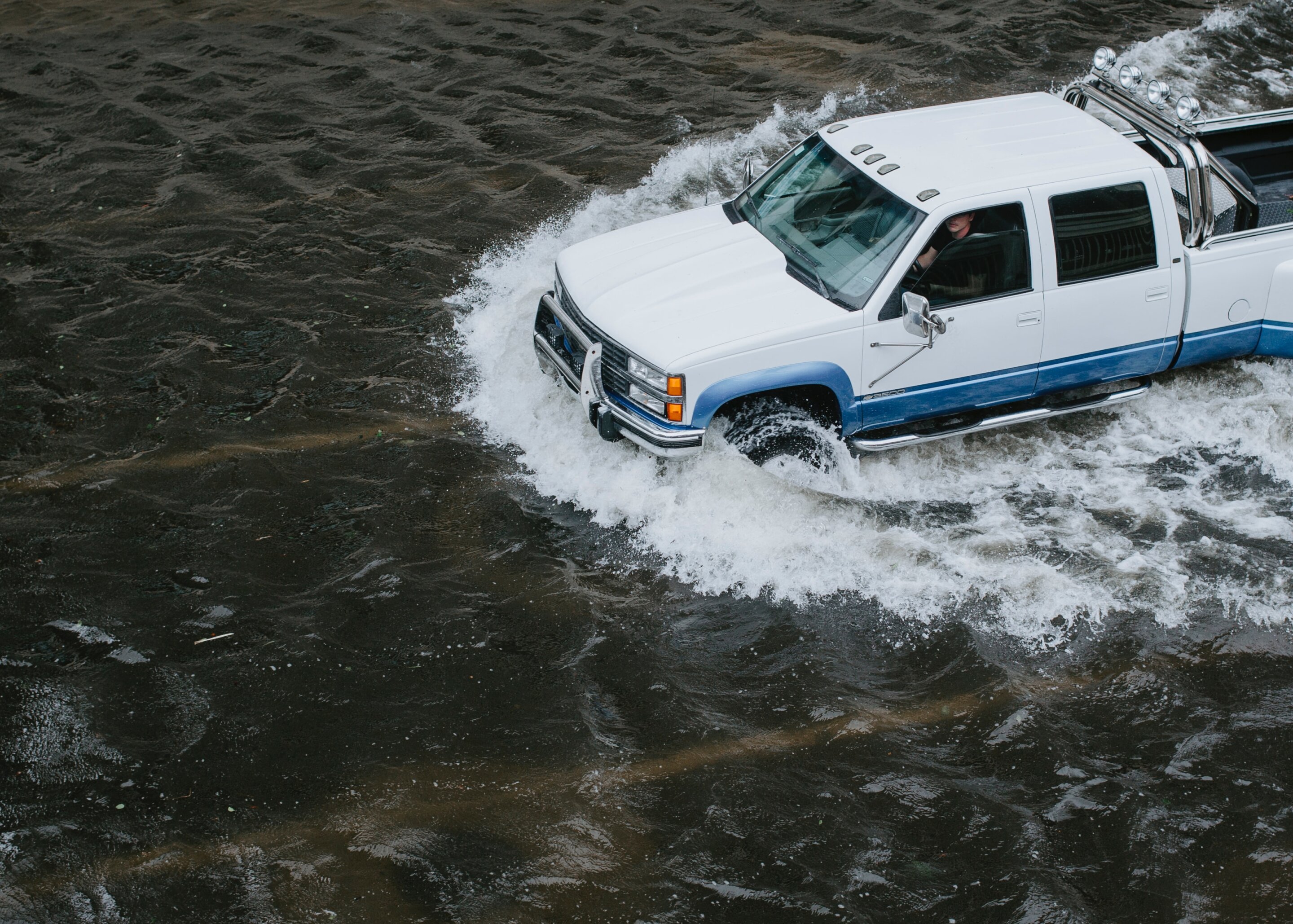
New Zealand's landscapes, with their rivers and coastlines, rely heavily on flood protection infrastructure. While we don't have the exact scale of earthen levees seen in the United States, the principle remains the same: these structures are vital for safeguarding communities and vital infrastructure from the devastating impacts of flooding. The recent report card for America's Infrastructure, giving US levees a D+, serves as a stark reminder that even advanced systems require constant vigilance and improvement.
This isn't just an American problem. Maintaining and inspecting flood protection structures, including stopbanks and levees, is a global challenge. Traditional inspection methods – often relying on visual assessments and manual data collection – can be time-consuming, costly, and prone to human error. They can also miss subtle signs of deterioration that could lead to catastrophic failures.
Fortunately, a wave of advanced technologies is transforming levee inspections, offering more efficient, accurate, and proactive solutions. Let's explore some of these innovations:
Drones: Eyes in the Sky
Drones equipped with high-resolution cameras and LiDAR (Light Detection and Ranging) technology are becoming increasingly common. They can quickly survey vast stretches of levees, capturing detailed imagery and 3D models. This allows engineers to identify erosion, vegetation overgrowth, cracks, and other potential issues that might be missed during ground-based inspections. The speed and coverage offered by drones significantly reduce inspection time and cost.
Satellite Imagery & Remote Sensing
Beyond drones, satellite imagery provides a broader perspective. Changes in vegetation cover, ground movement, and water levels can be detected over time, alerting engineers to potential problems. Combining this with advanced remote sensing techniques allows for the creation of predictive models to assess levee stability.
Ground Penetrating Radar (GPR)
GPR is a non-destructive technique that uses radar pulses to image the subsurface of levees. This can reveal hidden weaknesses, voids, and buried infrastructure that could compromise structural integrity. It’s particularly useful for assessing the internal condition of older levees.
Artificial Intelligence (AI) & Machine Learning (ML)
The real game-changer is the integration of AI and ML. These technologies can analyse the vast amounts of data collected from drones, satellites, and GPR to automatically identify anomalies and predict potential failures. AI can also be used to classify vegetation types, assess erosion rates, and prioritize inspection efforts. This moves us from reactive repairs to proactive maintenance.
What does this mean for New Zealand?
While the scale of levee infrastructure may differ, the principles of robust flood protection remain the same. Embracing these advanced technologies – drones, satellite imagery, GPR, and AI – can significantly improve the safety and resilience of our flood protection systems, safeguarding our communities and infrastructure for generations to come. Investing in these technologies isn’t just about improving inspections; it's about investing in the future security of Aotearoa.
The future of levee inspections is here, and it's powered by technology. Let's ensure New Zealand is at the forefront of this vital evolution.